28.2Integration Information
Any sign is an admission of architectural failureMassimo Vignelli (author of the 1972 NYC Subway Map) as retold by Michael Bierut of Pentagram and quoted in Metropolis Magazine, April 2007.
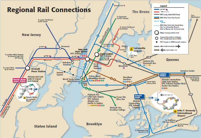
Intermodal facilities are the result of transport planners purposely linking the operational characteristics of one mode to another. This enables customers to transfer between BRT services and to access services of other modes. It is the compatibility and the ‘interwoven’ matrix of scheduled services, communicated through integrated information systems, both static (such as timetables and maps), and dynamic (i.e., real-time information about approaching vehicles), and the use of an integrated ticket that helps determine the level of transfer and the success of an intermodal station.
28.2.1Wayfinding
Four principles of wayfinding for intermodal hubs:
- Easy and Intuitive. Station should be designed so that customers can intuitively find their way and see their destination. Direct lines of movement and sight are key;
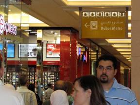
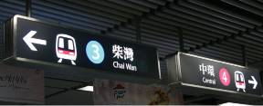
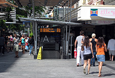
- Consistent, Clear and Legible. Signage should be consistent, clear, and easily legible from a distance. Ingress and egress signs should be clearly differentiated;
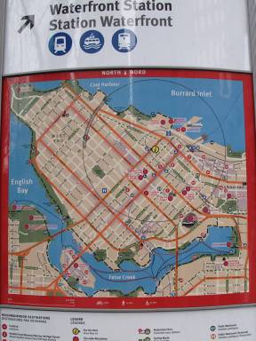
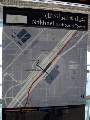
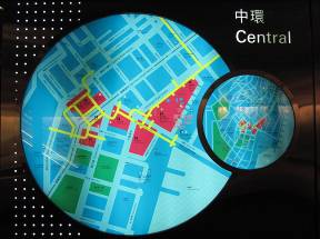
- Extensive. Information boards providing route information, station layouts, and local destinations should be located all around the station and the surrounding area. This allows people to orient themselves before they exit the station, and to know how to get to the station;
- Standardized. The use of standard station layouts, signage, and information systems within a transport network significantly improves the wayfinding experience.
Internal Circulation
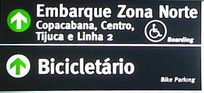
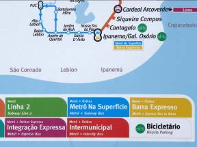
Information germane to the multimodal terminal, station, or stop includes route identification (line number), directions to the various modes contained within the station (Metro, ferry, BRT, bike parking), intermodal possibilities within the station and along the transport route, and arrival and departure information. Much of this will be provided by each service provider; however, the smart systems will organize and coordinate the information.
External Circulation
Information about access to and from the station and the surrounding neighborhoods is integral to intermodal integration. This "last-leg" of a journey completes the system. Often this is a walking trip, so much of the information at this level is highly detailed. It is important to display this information as time-based (e.g., within a ten-minute walk) as people more intuitively understand time (as opposed to distance). Signage is not limited to the station proper; signs giving directions to stations should also be away from the station.