29.1Principles of Pedestrian Planning
Restore human legs as a means of travel. Pedestrians rely on food for fuel and need no special parking facilities.Lewis Mumford, writer, 1895–1990
This section discusses the six main principles of pedestrian planning:
- Safety;
- Security;
- Directness;
- Legibility;
- Comfort;
- Universal access.
29.1.1Safety
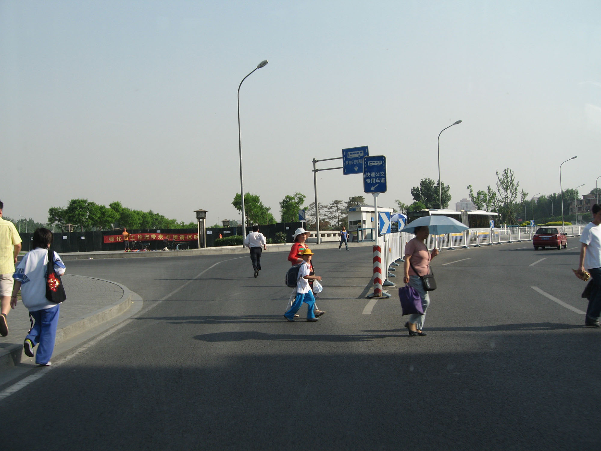
A safe pedestrian route implies that pedestrians are well protected from road hazards such as moving vehicles. Dangerous conditions can be mitigated by addressing three root causes of pedestrian-vehicle crashes: vehicle speeds, pedestrian-exposure risk, and driver and pedestrian predictability.
Vehicle Speeds Vehicle speed has a direct impact on the severity of a crash. Vehicle volumes tend to correlate with frequency of crashes, but not their severity. Both vehicle volume and vehicle speed are controllable and are ultimately determined by the decisions of road designers and policymakers.
The relationship between vehicle speeds and the risk of death or injury has been well documented in a range of settings. Research suggests that a drop in speed of only 5 kph results in 10 percent fewer pedestrian fatalities and 20 percent fewer severe pedestrian injuries (Anderson 1997). At speeds of less than 32 kph there are almost no pedestrian deaths, while at 80 kph almost all vehicle-pedestrian incidents result in death (Scully et al., 2007). Thus, there is good reason why residential speed limits in countries with good traffic safety records are set at 30 kph or less.
Pedestrian-Exposure Risk Pedestrian “exposure” risk refers to the time that pedestrians are exposed to potentially dangerous traffic conditions. The exposure time is a factor of the distance between secure pedestrian facilities, the way traffic signals are phased, and the type of facility. Exposure has both temporal and spatial components. To reduce exposure risk is to increase safety.
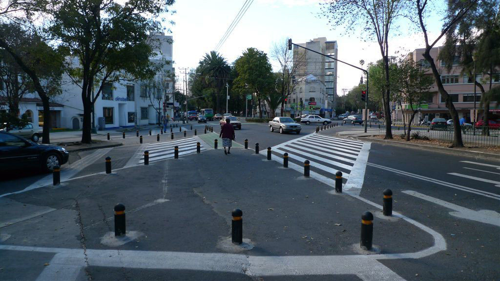
Driver and Pedestrian Predictability Road users are constantly making decisions, and if other street users—walkers, cyclists, and drivers—can better predict those decisions, the street will be safer. Reducing the number of options for drivers at key junctions is the simplest way to improve driver predictability. Similarly, pedestrian facilities that follow intuitive movement patterns are more likely to be used, thereby improving the ability of drivers to predict where pedestrians will be present.
29.1.2Security
“Security” refers to providing an environment where pedestrians are not susceptible to robberies, sexual harassment, or other crimes. The physical design of streets, parks, buildings, and the relationships therein play a role in increasing the number of “eyes on the street,” which in turn can increase security.
29.1.3Directness
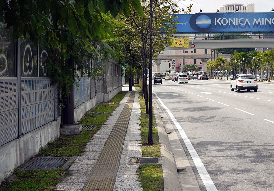
“Directness” involves a pedestrian path that minimizes the distance travelled to access the public transport station. Normally, locating stations near popular trip origins and destinations like shopping malls, large office complexes, or popular intersections will minimize pedestrian walking times. Small block sizes (e.g., one-half hectare) can ensure that direct walking routes are available from any location to the BRT station.
The level of directness is also influenced by pedestrian crossings and other design details at the micro level. For example, crossing facilities placed near pedestrian desire lines contribute to the directness of walking routes. Desire lines are the paths worn in unpaved areas, medians, and elsewhere that indicate where people travel. It is advisable to observe existing pedestrian behavior and then plan infrastructure interventions to ensure that these trips are made safely, rather than designing pedestrian facilities that attempt to force pedestrians to behave in ways that are highly inconvenient. Providing direct connections increases the likelihood that pedestrian behavior will be organized and predictable.
29.1.4Legibility
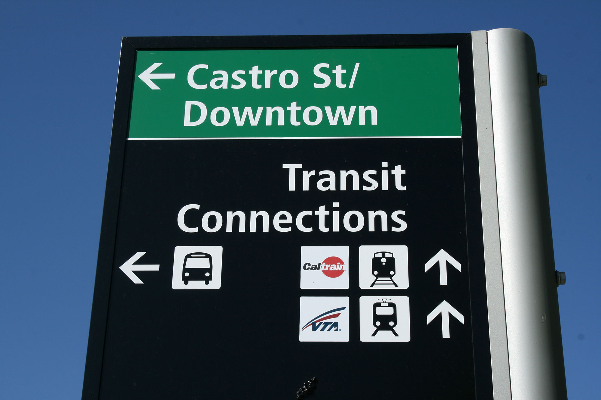
The “legibility” of an area refers to the ease in understanding the street environment. The selective use of signage and maps contributes to a system’s legibility. Likewise, design options such as infrastructure coloring determine how quickly customers understand system information. Good legibility can play a role in directing customers to a BRT system. Local-route signs along the pedestrian path both help customers find the BRT station and help pedestrians emerging from the station reach their destinations.
29.1.5Comfort
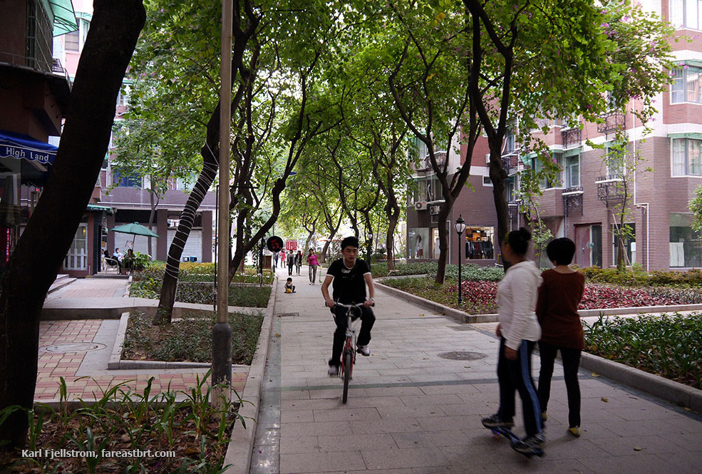
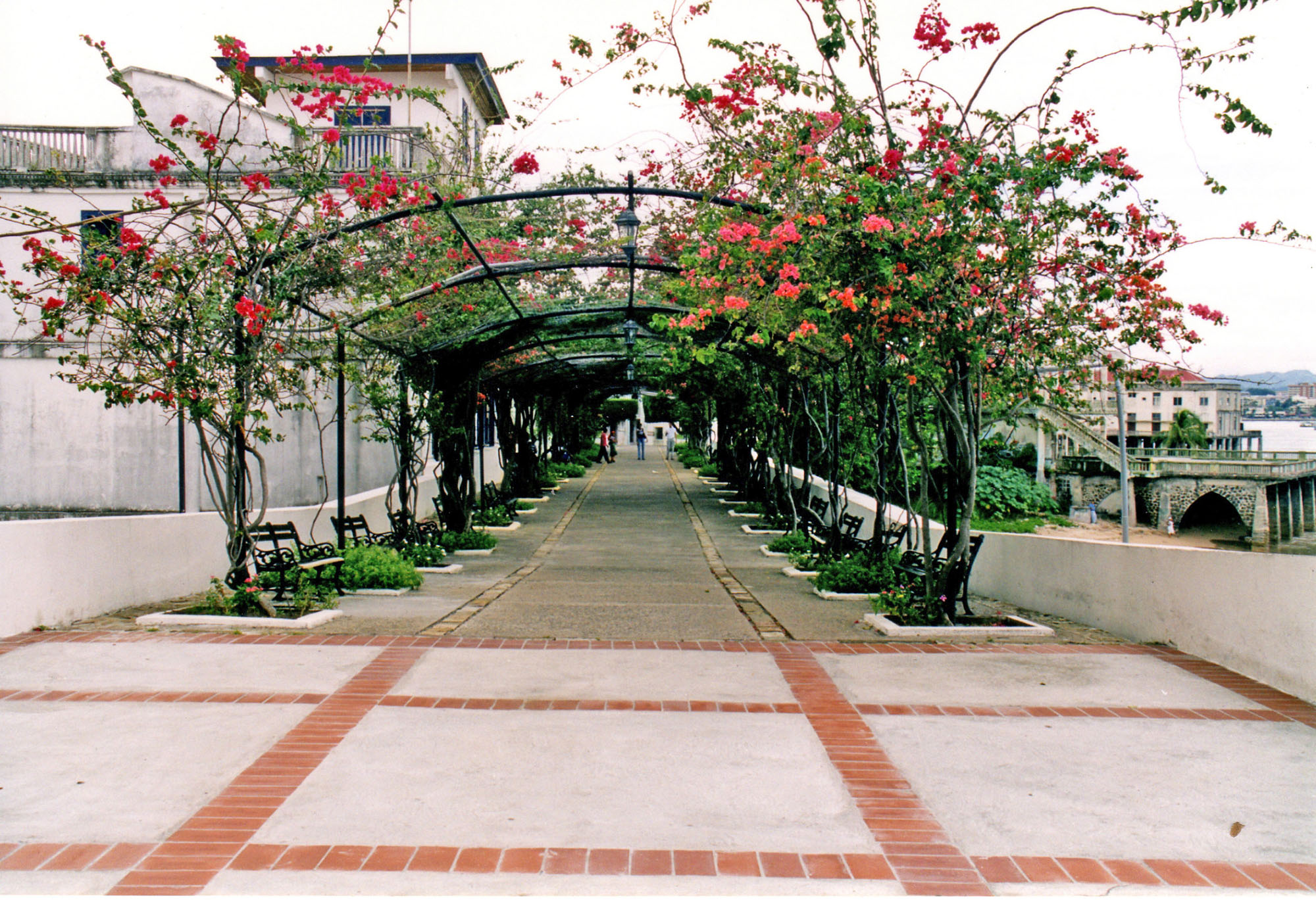
The steepness of inclines, presence of weather protection, condition of the walking surface, and protection from noise and air pollution all affect the level of comfort enjoyed by pedestrians. In cities with extreme heat, shade can reduce temperatures by five to eight degrees Celsius, and thus make reaching a BRT station more comfortable. Additionally, the aesthetic value of the walking environment will play a role in the potential customer’s disposition toward the walk. If the walk is pleasant and intriguing, then more customers will be attracted to the BRT system. System developers should assess the quality of pedestrian corridors connecting the BRT stations with major origins and destinations.
29.1.6Universal Access
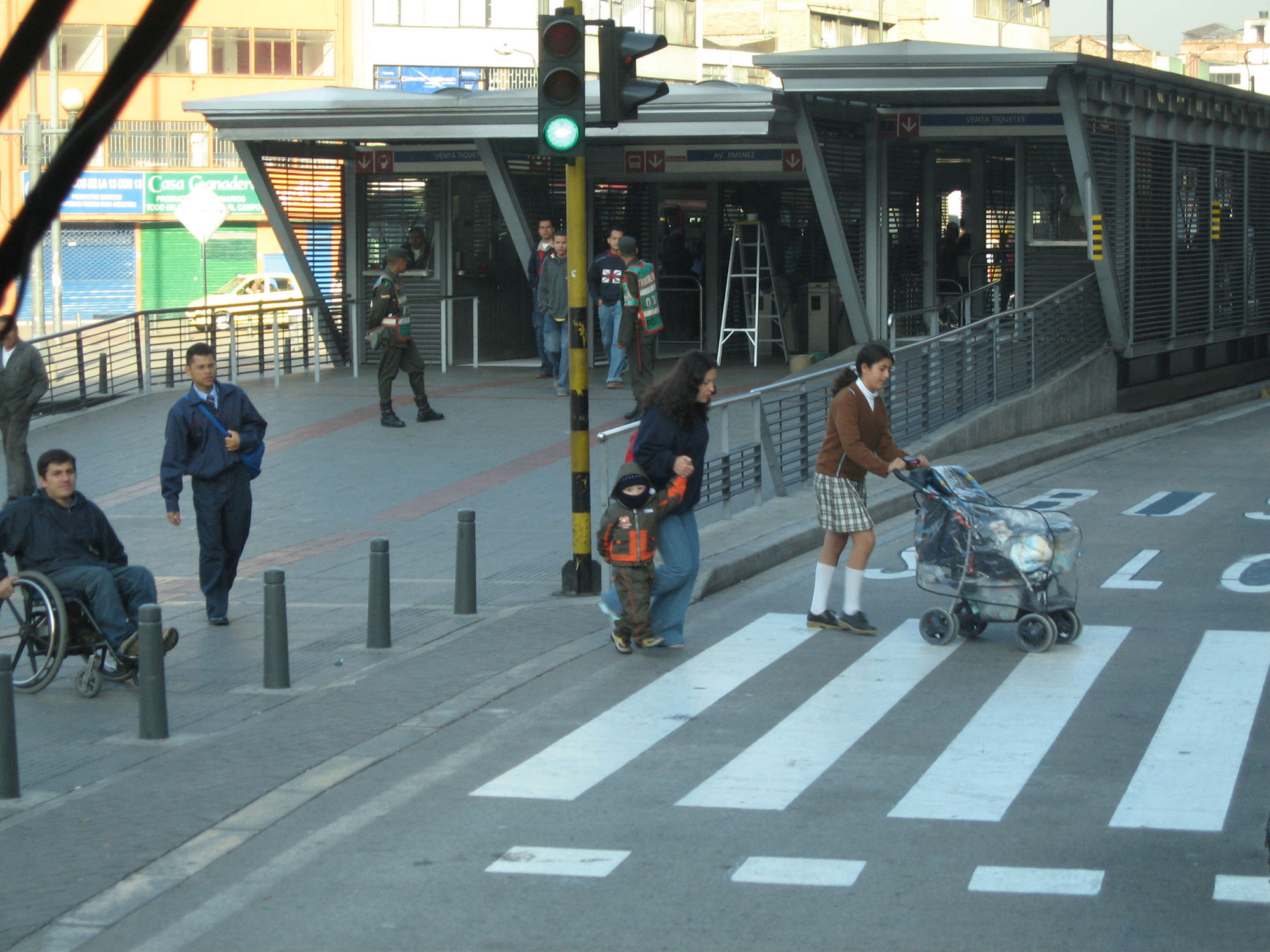
“Universal access” refers to designs that allow customers with mobility limitations to access the system. The main considerations in accessible design are removing physical barriers, avoiding excessive customer volumes that impede timely access, providing a safe route, and minimizing conflicts and detours. Designing from the perspective of a parent with a stroller, a child, an older adult, or a physically disabled person can result in good design for everyone.
Accessible design does not end at the station door. There is little value in making station platforms and vehicles friendly to those with mobility limitations if it is impossible for these customers to reach the stations in the first place. Universal access is described in greater detail in Chapter 30: Universal Access.