23.2Data and Studies Required to Do Preliminary and Detailed Design
The details are not the details. They make the design.Charles Ormond Eames, Jr, architect, 1907–1978
23.2.1Topographical Surveys
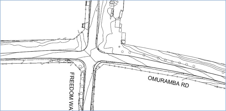
In order to undertake a preliminary electronic design of a roadway project, a high-quality topographical survey is required. The objective of the topographical survey is to provide a digital terrain model of the roadway corridor, with all the roadway features that exist in the corridor, recorded in three dimensions, that is coordinated and with levels. Relevant features that should be recorded in the topographical survey include:
- Roadway edges and road markings along the corridor and at least one hundred meters along all intersecting roads;
- Property-line boundaries and road-reserve boundaries;
- All stormwater catch pits or channels along the route with invert levels on all pipe work;
- Street-light poles, traffic-signal poles, traffic-signal controllers, and any other street furniture;
- Trees, both by location and girth;
- Bridges, culverts, overpasses, and underpasses;
- Underground services, like electricity, drainage, water, and sanitation. These may have to be verified through hand excavation to get spot heights and locations.
The quality of the topographical survey can have a significant impact on the ability of design engineers to design accurately, and inaccurate survey work can lead to design errors and potential construction claims. A high-quality specification for the topographical survey would be prepared to ensure that all tendering survey firms are aware of the quality required. The tender process should ensure that only those surveyors with the relevant qualifications can be awarded this task.
23.2.2Pavement Assessment
An assessment of the existing roadbed founding conditions and existing general traffic lane pavements is required in the corridor. The quality of the founding material on which road layer works is placed can have dramatic effects on the design of the pavement layers. The road pavement design is critical in the overall design process, as it can constitute a third of the cost of the roadwork contract.
Pavement assessments start with the collection of road-design data from the road authority responsible for the corridor. What is of importance is the age of the pavement, its founding material, and the thickness and specification of each layer of the pavement. Where this information does not exist, pavement data can be collected on-site by means of trial holes. Each trial hole provides a profile of the road pavement, indicating layer thickness and material classification. This information can be used to assess the residual life of the pavement and its ability to accommodate the proposed BRT vehicle loading.
Other less-invasive means of pavement testing can be undertaken using a pavement deflectometer device, but the quality of the information is not as detailed as with the trial-hole procedure.
23.2.3Foundational Assessment for Structures
Structures have point loads that require specialized investigation and design. For any bridge, tunnel, overpass, underpass, or elevated busway support, a foundation assessment needs to be undertaken at the location of the structural foundation. The bearing pressure of the in situ material needs to be investigated to determine what type of footing is required to support the structure. Where the material has a poor bearing pressure, piling may be required to provide the required stability.
The quality of the founding material has a major impact on the structural design, and hence should be undertaken early in the design process. Failure to adequately assess founding conditions and hence design adequate foundations, could lead to structures settling, cracking, and ultimately failing.